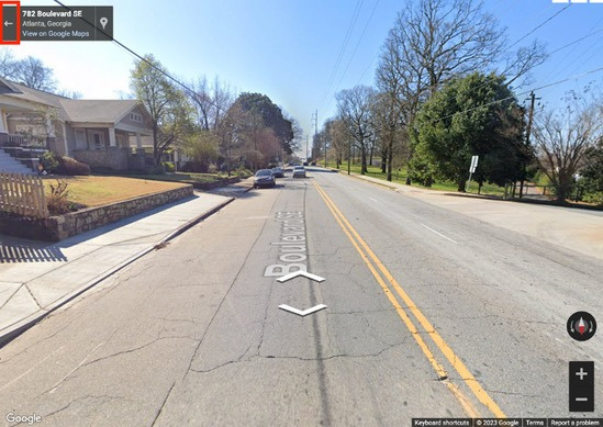
Open Street View
- Drag Pegman from the lower-right map controls onto a supported street.
- Use the Street View navigation controls to move, rotate, and zoom.
- Select the back arrow to return to the map.
Open from a marker
A marker tooltip can also expose Street View and View on Google Maps actions. Street View by Default can preserve a selected Street View location after the report is saved and reopened, according to the source guide.
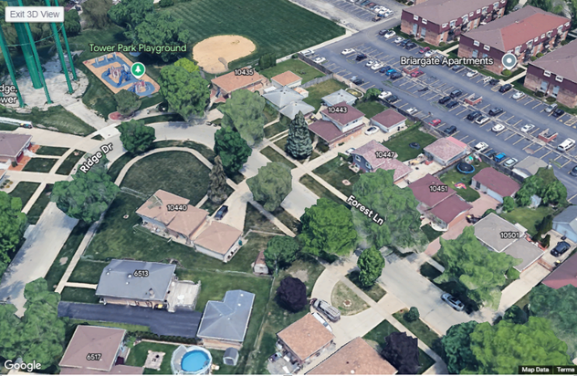
Open 3D View
- Open a marker tooltip.
- Select 3D View.
- Rotate, tilt, and zoom the 3D scene.