Assign fields
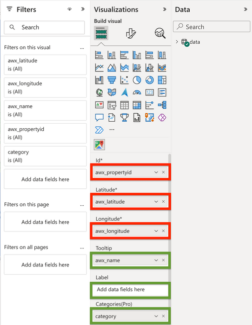
- ID — a unique record identifier used for display and filtering.
- Latitude and Longitude — required coordinates for every mapped location.
- Tooltip — one or more optional fields shown when the user opens a marker.
- Label — an optional field displayed above an object.
- Categories — an optional field used to group objects and apply category colors.
Prepare coordinates
The dataset must contain latitude and longitude. If the source only contains addresses, geocode them before loading the records into the visual.
Important
Confirm the coordinate columns use the correct numeric data type and that latitude and longitude have not been swapped.
Complete Google Maps Settings
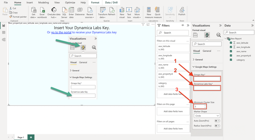
- Paste the Google Maps API key.
- Paste the Dynamica Labs key.
- Set the minimum pushpin count used to create clusters.
Obtain the Dynamica Labs key
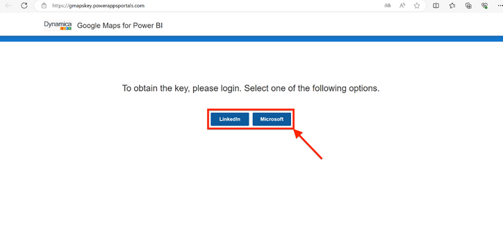
Use the key link presented by the visual, sign in using one of the available identity providers, copy the generated key, and paste it into Google Maps Settings.